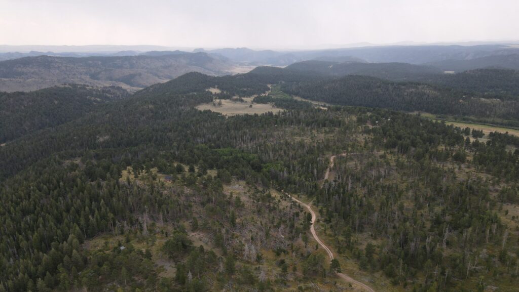
Project Location:
The 344 acre project is situated within the Poudre River Ranch Homeowners Association and the Diamond Creek Road Association in the Livermore, CO area. This region, located seven miles south of the Wyoming border and eight miles north of Red Feather Lakes, CO, is characterized by its historic forest type of Ponderosa Pine, interspersed with small stands of Lodgepole Pine. Unfortunately, over time, the composition and structure of these forests have shifted drastically. Tree densities are much higher, and the average tree age is lower than the historic reference conditions for the site due to the absence of wildfire as a natural disturbance mechanism for over a century.
Project Impact:
By implementing forest restoration on these acres, we aim to reduce crown density significantly. This will create open spaces and diversity within the forest, making it less prone to intense crown fires. In turn, this will protect neighboring communities and enhance the efficiency of wildfire response efforts. All project areas are a part of the Trail Creek-North Fork Cache La Poudre River HUC 12 Watershed and will ultimately drain into the Halligan Reservoir, which is a large source of drinking water for the City of Fort Collins. These treatments will better protect these crucial water supplies in the face of large fires.
Implementing Agency:
Larimer Conservation District
Funding Agencies:
Natural Resource Conservation Service
Larimer County Emergency Services
Peaks to People Water Fund
Funding Year: 2023
Watershed: Cache la Poudre